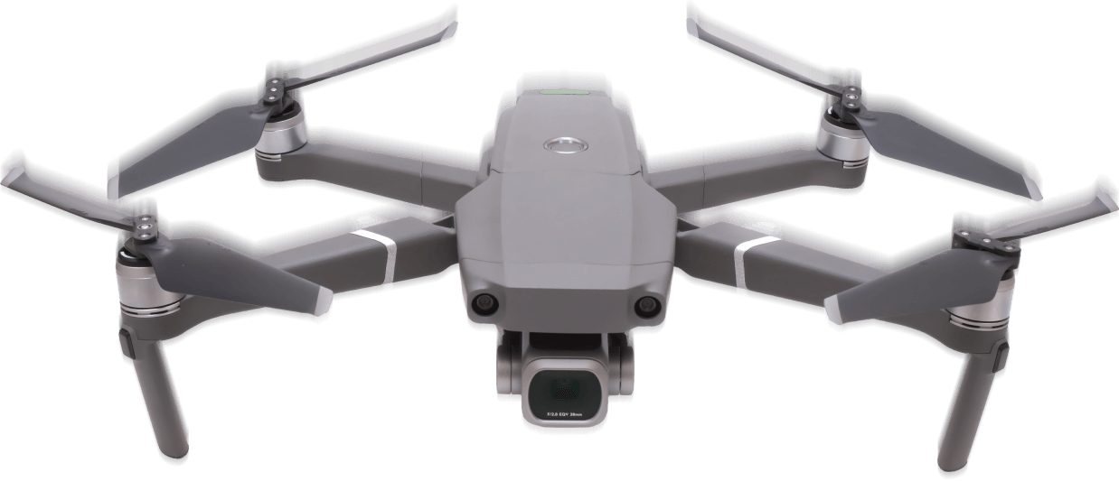
PROFESSIONAL
DRONE SERVICES
Better Drone Photography
Get crisp and clear aerial photos of products, services, or properties and places. Our team of professional photographers and will provide you with stunning high-resolution images suitable for both print and digital media. Simply tell us your business or other objective and we will work with you to meet your goals.By marketing your business with compelling and truly unique content, you can significantly improve your ability to attract and retain customer attention.
Aerial Photography
Market your property, services, location, or company fleet. We capture footage for you with your online presence in mind.
Aerial Videography
We provide quality and custom edited videos that tell your story with your logo and graphic overlays.
Time Lapse
As work moves forward on the job site, keep owners, clients, and managers informed with weekly progress updates.
Aerial Mapping
Mapping and modeling allows you to easily measure distances and plan out your project with cut fill analysis. Track progress simply by using our overhead maps.


PROFESSIONAL DRONE SERVICES

Better Drone Photography
Get crisp and clear aerial photos of products, services, or properties and places. Our team of professional photographers and will provide you with stunning high-resolution images suitable for both print and digital media. Simply tell us your business or other objective and we will work with you to meet your goals.By marketing your business with compelling and truly unique content, you can significantly improve your ability to attract and retain customer attention.
Aerial Photography
Market your property, services, location, or company fleet. We capture footage for you with your online presence in mind.
Aerial Videography
We provide quality and custom edited videos that tell your story with your logo and graphic overlays.
Time Lapse
As work moves forward on the job site, keep owners, clients, and managers informed with weekly progress updates.
Aerial Mapping
Mapping and modeling allows you to easily measure distances and plan out your project with cut fill analysis. Track progress simply by using our overhead maps.
